Extreme thunderstorms are currently moving through the Mediterranean.
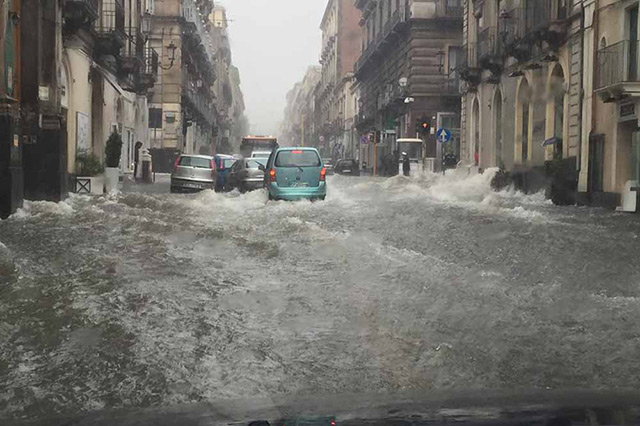
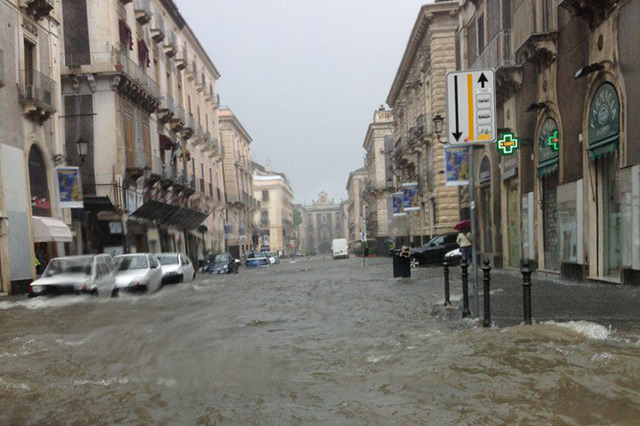
Yesterday evening (local time), thunderstorms struck southern Italy and caused large and dangerous flash floods over wide areas. Situations like the one below happened in many places.


The cause for the flash flooding was a complex of severe thunderstorms that struck the region yesterday in the evening (local time). Below on the cloud top satellite image, you can clearly see the thunderstorms.

This resulted in precipitation ammounts, that, at some stations, were massive. The station MARINA DI GINOSA in the southeast of Italy reported 134l/m².

But the thunderstorms are still moving on, now making landfall in the southern Balkan. Some stations in Greece have already reported precipitation of up to 50l/m². Below is the newest cloud top satellite image.


